GPS Forensics in Digital Investigation

Knowledge
2025-06-16

GPS forensic science entails extraction, processing, and analysis of geolocation data from devices—smartphones, vehicles, wearables—to recreate physical paths. This science converts timestamped coordinates into investigative tools for alibi confirmation, crime scene proximity mapping, or tracing of stolen goods. Smartphone GPS logs, for example, can invalidate a suspect’s claimed location by showing repeated location pings at an incident site.

In forensic science, GPS data acquires specific contextual meaning: where text or e-mails expose content, geospatial data determines “where” and “when” exactly. Whether monitoring hijacked cars with fleet management systems or inspecting location history from a smartwatch in stalking, GPS forensics harnesses digital information to spatial context. With the expansion of IoT devices to encompass location tracking, the field is now obligatory to criminal investigation, civil litigation, and corporate audits—converting coordinates to legally admissible spatial narratives.
What’s GPS And What’s GPS Forensics?

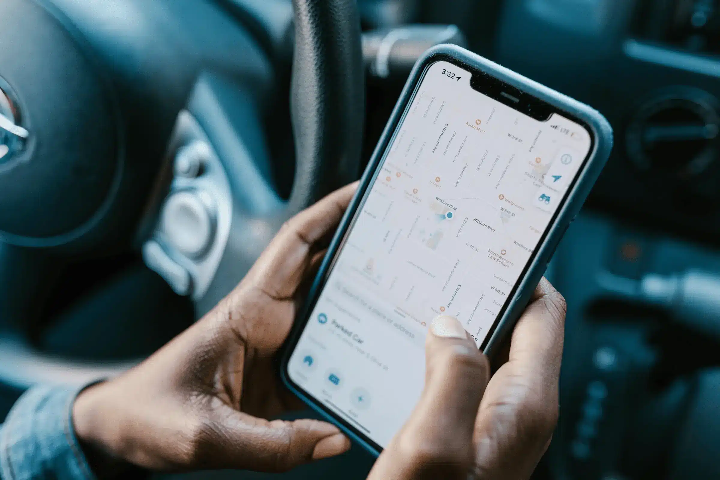
GPS location in mobile device

GPS in Mobile Devices

What’s GPS?

GPS (Global Positioning System) is a system of satellites circling the planet, broadcasting signals that are received by electronic receivers to determine accurate location coordinates (latitude, longitude, altitude) and time stamps. First developed for military use in navigation, GPS pervades everyday life—from phone maps and pedometers to car navigation systems and even smart household appliances. Every GPS device leaves a “digital trail” of movement, recording data points ranging from location accuracy to speed, and time stamps.

The Global Positioning System (GPS) is a satellite-based hyperbolic navigation system owned by the United States Space Force and operated by Mission Delta (Wikipedia).

GPS Forensics: From Navigation to Digital Investigation

GPS forensics is the translation of those location information into legal evidence. It is the organized acquisition, processing, and interpretation of geospatial data contained in devices to respond to questions of investigation. For instance:

  • Extracting Logs from a suspect’s smartphone to verify their presence at a crime scene;
  • Analyzing routes stored in a vehicle’s GPS to trace the path of stolen property;
  • Correlating timestamps from a wearable device with witness statements.

Distinct from routine uses of GPS for navigation, forensic examination is all about the metadata—the secret information such as signal strength, satellite connections, and location update frequency. Investigators utilize them to verify or disprove alibis, re-create timelines of events, and determine spatial relationships among individuals, locations, and objects. Essentially, GPS forensics makes mundane location data a valuable asset to unravel digital enigmas in courtrooms.

Data Extractable through GPS Forensics

  • Smartphones: Store location history, geotagged photos/videos, and app – specific data (e.g., ride – share pick – up points).
  • Vehicle GPS: Record routes, speeds, and parked locations, key for theft and accident investigations.
  • Wearables: Track activity paths, distances, and emergency locations, useful for alibi verification.

GPS forensics in Digital Investigation

Case Types Applicable to GPS Location Forensics

GPS forensics serves a pivotal function in spatial-temporal trajectory analysis cases by uncovering geospatial information from electronic devices. Its following typical application scenarios are described with specific examples and technical rationale:

1. Criminal Investigations

  • Violent Crimes: Rebuild suspects’ historical background from vehicle or phone GPS data to determine their whereabouts at the time of the crime.
  • Drug Trafficking and Smuggling: Monitor movement patterns of suspected individuals or vehicles to identify trafficking routes and warehousing sites.
  • Property Crimes: Follow the path of stolen goods that are GPS-enabled, or examine the history of where access devices have been to connect suspects with burglaries.

2. Civil and Commercial Disputes

  • Traffic Accident Liability: Examine automobile GPS record, dashcam timestamps, and cell phone locations to determine the circumstances surrounding collision and assign fault.
  • Insurance Fraud: Identify discrepancies between where accidents were reported and real locations at time of accidents, e.g., faked accidents or false theft.

3. Specialized Forensic Scenarios

  • Missing Persons & Trafficking: Utilize location history from phones or wearables to narrow search areas or trace abduction routes.
  • Environmental Offences: Monitor vehicles used in deforestation, mining, or disposal of wastes by GPS coordinates in nature reserves.

Although it has vast reach, GPS forensics is plagued by data spoofing challenges, encryption hurdles, and admissibility in court. Credible results are based on multi-source data authentication and rigorous follow-through of forensic best practices.

Challenges in GPS Forensics within Digital Investigations

Technical Constraints

  • Encryption Challenges: The majority of modern devices, including smartphones and IoT trackers, have encrypted GPS logs. Decryption typically demands special equipment or cooperation with manufacturers.
  • Signal Manipulation: GPS signal can be forged to generate incorrect locations or jammed, making data unreliable.
  • Accuracy Problems: Indoor areas, cities, and weather may slow down GPS accuracy or produce location errors.
  • Data Integration: Intermixing GPS with Wi-Fi, Bluetooth, or cell tower records involves intricate cross-platform processing.

Legal and Regulatory Hurdles

  • Jurisdictional Conflicts: Cross-border data retrieval clashes with varying privacy laws (e.g., GDPR and the US CLOUD Act), slowing evidence collection.
  • Admissibility Risks: Courts may reject GPS evidence without proper warrants or a documented chain of custody.
  • Limited Data Retention: Service providers often delete location logs quickly, restricting historical analysis.

Device and Ecosystem Challenges

  • Hardware Heterogeneity: Legacy GPS tracking devices, wearables, and connected automobiles use diverse data formats, complicating extraction.
  • Privacy Updates: Subsequent operating systems improve location access controls, reducing forensic access.
  • Data Loss: Storage space or battery life can lead to fragmentation of the location history, resulting in data gaps.

Analytical Difficulties

  • Time Stamp Inconsistencies: Inconsistency in device timestamps can cause event disruption.
  • False Associations: Co-located or shared account devices could incorrectly connect locations to suspects.
  • Tool Limitations: Many forensic tools lack support for specialized GPS devices, requiring custom solutions.

Ethical and Privacy Risks

  • Third-Party Data: Collecting location data from third-party apps risks privacy breaches.
  • Overcollection: Gathering data from non-linked individuals in investigations is both an ethical and legal issue.

Tackling these issues demands a blend of technical know-how, legal compliance, and standardized forensic practices.